

In northern Italy, along the Austrian border, lies a hiker's paradise: the Dolomites.
It is Italy, but German is widely spoken, as the region is partly German-speaking (it became part of Italy after the First World War).
Good reasons to hike in the Dolomites
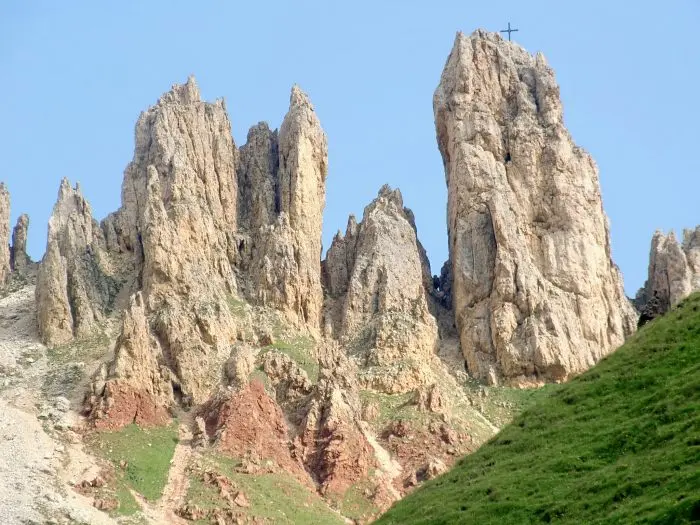
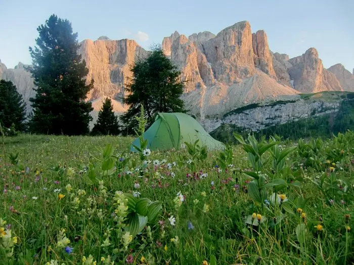
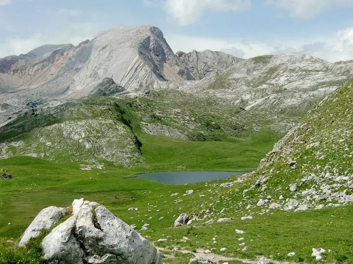
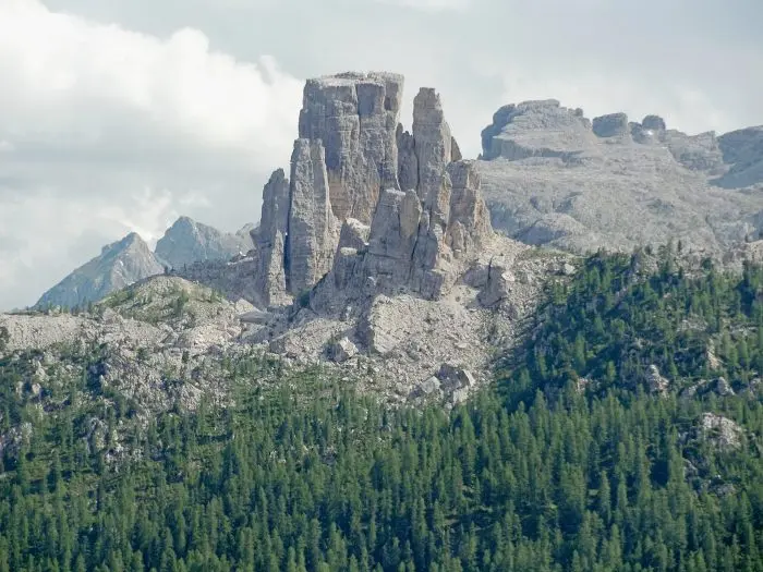
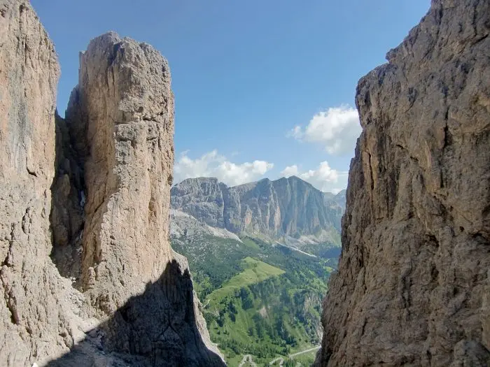
- The scenery, of course! Huge, sheer mountain blocks that sometimes make you wonder how to reach them, separated by ribbons of green valleys; fearsome jagged summits; fine cabled climbs and dizzying viewpoints; a little snow and lots of flowers in late June and early July… The photo album speaks more clearly than lengthy descriptions.
- This is also the birthplace of via ferrata. These climbing routes, fully equipped with cables, ladders and rope bridges, were originally intended for soldiers defending the border. Today they delight sporty tourists. We did not try them, as we found no equipment to hire during our brief stay in Cortina d'Ampezzo.
- The extensive trail network is well maintained and fairly well marked; see below.
- There are mountain huts everywhere serving cold beer! And beautiful wild camping spots…
Some hiking information
Maps and trails
German Kompass maps at 1:25000 are fairly precise. Cabled sections and via ferrata are marked, but difficulty is not always clear: we once had to turn back at a very steep gully still completely snow-covered. Trails are numbered and well marked, with frequent signs. However, a numbered trail can split into 2 paths bearing the same number… Do not rely solely on numbering; check junctions carefully on the map.
When to go?
Spring and summer for hiking. In late June, there were few people. Early July was considerably busier, varying by location because visitors were mainly day hikers. In winter, the Dolomites are a popular winter sports destination. Cortina d'Ampezzo is its ‘capital’ and chic resort.
Getting around:
Fly to Milan, then take trains and buses. Arriving via Austria, through Innsbruck, is probably possible too.
Buses are fairly frequent, with stops at trailheads, making travel relatively easy. However, we had some problems with delayed and even cancelled trains…
Where to stay?
The mountain hut network is particularly dense. If you want some comfort, organising a route is therefore easy. We tried only one: the food was unremarkable, but it was clean and comfortable. Otherwise, we always wild camped without difficulty. We also stayed at campsites in Cortina d'Ampezzo, Dobbiaco and Canazei.
Which hikes?
We completed 2 very different, very beautiful routes of 5 to 6 days:
A loop between Dobbiaco, Tre Cime and Cortina d'Ampezzo.
Maps: Kompass 635, Hochpustertal Alta Pusteria, and 617, Cortina d'Ampezzo Dolomiti Ampezzane.
Reach Dobbiaco by train, then take a 15-minute bus towards Cortina to the trailhead near Tre Cime.
Wild camping and one campsite night in Cortina d'Ampezzo.
Highlights: the circuit of Tre Cime and airy Grupo dei Cadani, Tofana di rozes and the beautiful Braies massif.
A route from Val Gardena to Cannazei.
Maps: Kompass 616, Gröden/Val Gardena, Sella, Canazei.
Train and coach to Selva di Val Gardena; return by coach from Cannazei to Bolzano, then train.
Wild camping and one night at the Cavazza hut in the Gruppo di Sella.
Highlights: the beautiful exposed route through Gruppo del Puez, impressive views of Gruppo di Sella, the climb through a steep notch onto Gruppo di Sella, and the magnificent, steep alpine crossing of Molignon/Cime del Pincipa/Cima Gr di Valbona.