Here is a beautiful 3- or 4-day circuit we completed in August from Cauterets (64). It passes an impressive series of lakes offering wonderful panoramas. It also includes 5 mountain pass crossings for a high-mountain atmosphere (up to 2,700 m), again with superb views. Dusk and dawn also provided magnificent sights at our wild camping spots.

Level: for strong walkers. Fairly long days with some substantial climbs.
 
Difficulties: a steep ascent and descent with scree at Col de Cambales and an off-trail alternative on the 3rd day. This enjoyable off-trail section is strictly for experienced, cautious and fit hikers, only in dry weather without fog (2 very steep grassy ascents, 2 very steep rocky descents, visual navigation with a compass and few or no cairns; scree). We recommend the marked path instead, which also reaches Lac d'Ilhéou and looks pleasant too.
 
Start / finish: Cauterets
 
Main waypoints: Cauterets, Pont d'Espagne, Refuge Wallon, Col de la Fache, Lac de Campoplano, Col de la Peyre St Martin, Col de Cambales, Lac de la Nère, Col du Pourtet, Brèche du Hourat, Lac d'Ilhéou, Cauterets.
 
Accommodation: 3 nights wild camping, although the circuit could be done with 2 nights at Refuge Wallon (lengthening the second day) and one night at Refuge du Lac d'Ilhéou.
 
 
Detailed route:
Day 1:
 
An early-afternoon start, so a half-day hike.
From Cauterets, climb to Pont d'Espagne on the path alongside the mountain stream, with some lovely views of the water. An easy, fairly busy path.
At Pont d'Espagne the views are superb, but you will not feel alone…
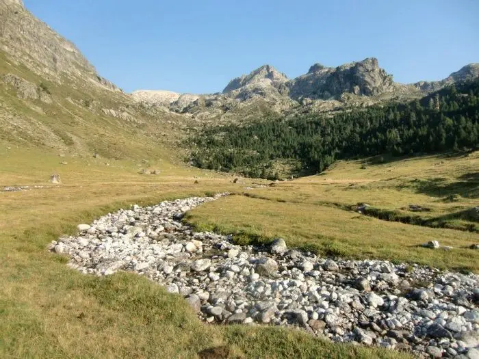
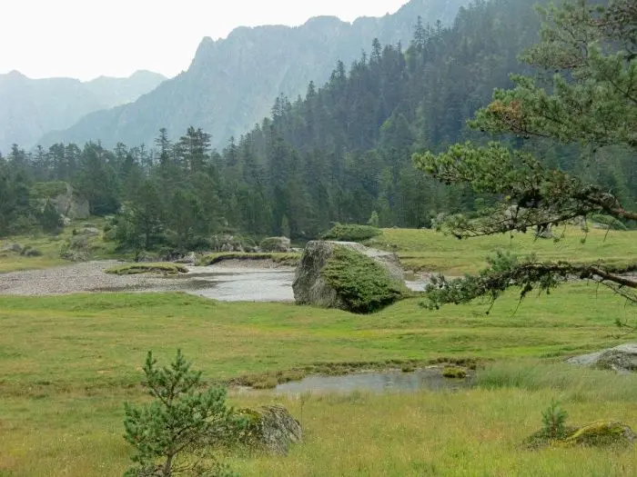
Peace returns immediately above Pont d'Espagne as you climb towards Refuge Wallon. A little forest, followed by pleasant Alpine pastures crossed by a stream. An easy path.
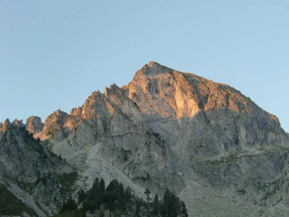
Camp near Refuge Wallon in a superb setting, especially at dusk and dawn (see photographs).

Day 2:

Climb to Col de la Fache at 2,664 m. Fine views on both sides: lakes on the Spanish side, the Refuge Wallon valley and beautiful peaks on the French side. A good path.
Descend along the stream on the Spanish side, with fine views over the Spanish lakes. Turn right through the Alpine pasture above Lac de Campoplano and climb to Col de la Peyre St Martin. A substantial ascent on a zigzagging path.
Continue with a very steep, rocky final climb to Col de Cambales at 2,706 m, the circuit's highest point. Fine views along the many Cambales lakes.
The descent from the pass is also steep and rocky. Follow cairns through the rocks. At the bottom of the slope, the path turns left.
The descent then follows these lakes, forming the most beautiful section of the route.
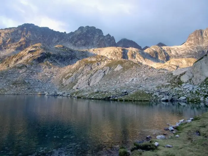
Camp (and swim) beside a beautiful unnamed lake at 2,342 m. Dusk and sunrise here are truly magnificent!

Day 3:

Continue the superb descent alongside the lakes to 2,053 m, then take the path on the left up to beautiful Lac Nère and then magnificent Lac du Pourtet, with its deep blue waters.
From there, we chose an off-trail route. As mentioned in the introduction, we recommend the marked path to Lac d'Ilhéou via Col de la Haugade instead. Our route is for experienced, fit hikers in clear, dry weather only.
We therefore climbed to Col du Pourtet (2,604 m). The final 100 metres are a very steep grassy ascent.
Magnificent views from the pass towards Lac du Pourtet and Vignemale, with fine views on the other side too.

A very steep descent through scree, without cairns. Then turn right and navigate visually towards Brèche du Hourat (easily identifiable and impressive!), still over loose rocks with almost no cairns.
A very steep grassy climb of 100 m to the gap (2,579 m). A very steep descent over loose rocks. Then cross a large snowfield. Afterwards, keep left to find a few cairns again.
Pass a small lake, leaving it on your left. From here, cairns appear regularly on a substantial descent towards Lac d'Ilhéou, which you then skirt above its left bank (in fog, in our case…).
There is a camping spot overlooking the lake, uphill on the right bank, 5–10 minutes from Refuge d'Ilhéou (the only flat place in the area). Sunrise here is also rather beautiful.

Day 4:

A long, pleasant descent to Cauterets.
A beautiful valley of very green Alpine pastures, followed by the first trees and fields, and finally woodland.
Arrive in Cauterets late in the morning.
Naturally, a regular energy intake was needed to complete this beautiful hike.

Product comparison
Compare
Rayon Rando advice