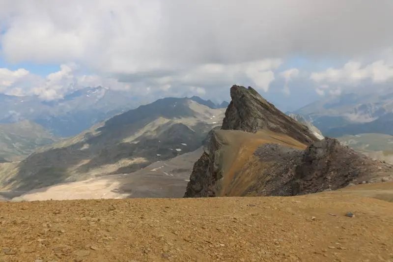


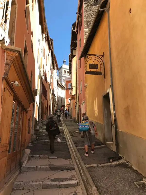
Mention Briançon and images of sunshine and holidays immediately spring to mind. The old town is beautiful and the surrounding Vauban fortifications, a UNESCO World Heritage Site, are truly impressive. But once your visit is over, what else is there to do? A wealth of absolutely superb hikes within just a few kilometres.
This article is not exhaustive, but offers a selection of around 10 hikes I enjoyed. Apart from Mont Thabor, all were completed as short day's walks with a child carrier for a little boy who also wanted to walk occasionally. I describe the difficulties as I experienced them, but others may find them harder, particularly in different conditions. As always, I therefore advise you to be careful, responsible and well informed before setting out.
I have grouped them into 4 geographical areas:
- Hikes in the Clarée valley (and Névache)
- Hikes in the Cervières valley
- Hikes around Serre-Chevalier
- A little further afield: Les Ecrins & Mont Thabor
Clarée valley:
Clarée valley, also called Névache valley in its upper reaches, is particularly popular with holidaymakers and hikers. Beyond its natural setting, read Emilie Carles's autobiography ‘Une soupe aux herbes sauvages’ to understand its history. Far from bucolic reminiscences, it describes harsh valley life in the first part of the 20th century and the commitments of a woman of conviction.
Rocher de Barrabas from Col de l'Echelle:
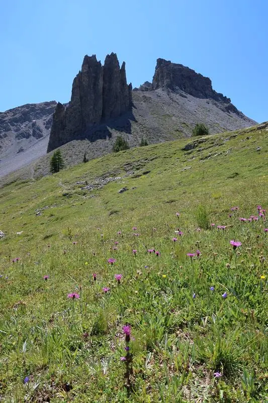
More precisely, start from Mauvais Pas, 1,779 m, around 400 m ascent, beyond Col de l'Echelle just before descending towards Vallée Etroite.
Easily overlooked, this is a lovely walk. The goal is not a summit but a remarkable natural site of rocks, cliffs and caves, marked by history with large bunkers whose guns pointed towards Italy.
A trail without particular difficulty.
Col des Thures, 2,194 m, and fairy chimneys:
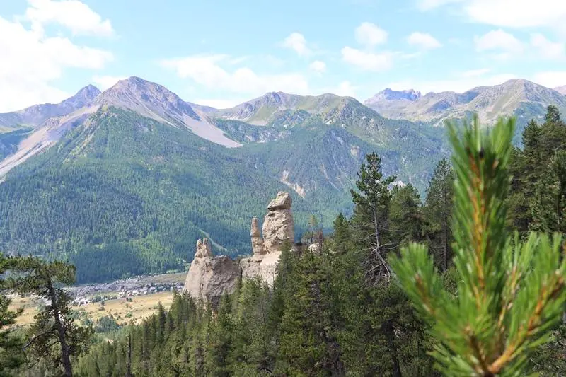
A beautiful, varied hike: climb through forest, discover superb fairy chimneys, then reach a level alpine pasture and the lovely pass opening views towards Mont Thabor.
Start at Roubion, 1,619 m, with 570 m ascent. I recommend a loop: climbing on the right, on the stream's left bank, dotted on the IGN map, gives plunging views of the fairy chimneys. The easier descent on the other side via GR 5 passes their foot.
Family-friendly, though there is still a climb.
L'Aiguille Rouge, 2,545 m:
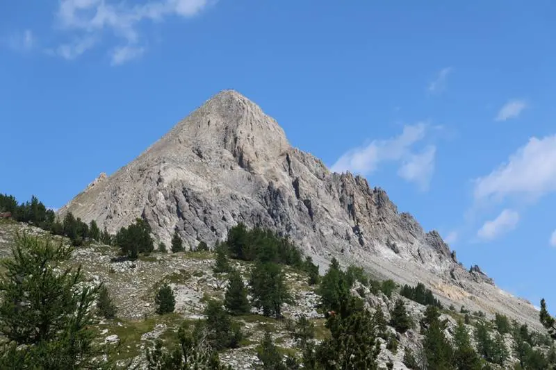
Inviting from below, delightful from above. L'Aiguille Rouge stands distinctly apart, offering completely unobstructed 360° views: Clarée valley, Italy, Mont Thabor and more.
The shortest start is Col de l'Echelle, 1,762 m, giving 800 m ascent. You can also start lower on the D994, 1,540 m, climbing through forest, or at Roubion, 1,619 m, to combine it with Col des Thures. The initially wooded trail is fairly steep but quite manageable; the final ascent is steep too, but suitable for regular walkers and hardy children. Little space on top; it may be busy.
Arimon and Serpent lakes, 2,456 m:
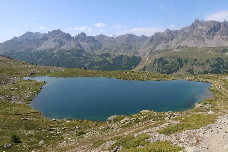
The only hike we did in upper Névache valley, which reportedly has other lovely ones. A logistical constraint: summer car access is forbidden unless you pass before 8. Park at Roubion and take 1 or even 2 shuttles. We understand the protection and safety aim but found it laborious, 4 shuttles, and were not tempted to return a second time. Start from Chapelle Sainte Marie, 1,861 m. 600 m ascent.
A pleasant, straightforward hike. An agreeable forest track becomes a slightly steeper path, with the 2 beautiful Arimon and Serpent lakes rewarding the climb.
Cervières valley:
Less known and quieter than Clarée valley, Cervières valley also offers lovely hikes. Here are 2.
Cervières and fairy chimneys loop:
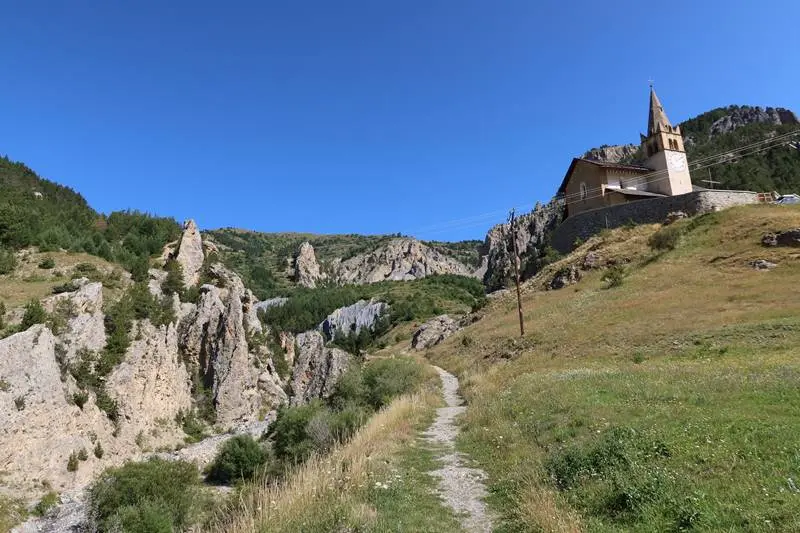
Starting in Cervières, this loop, with 550 m ascent between lowest and highest points, combines varied scenery and heritage. Discover the beautiful old church at the start, the upper one rather than the village church; the small mountain hamlet of Alp du Pied and its chapel; and a series of pillboxes left from the 2nd World War.
Scenery begins with fairy chimneys in a narrow valley, then alpine pastures, followed by a steeper descent through Bois des Bans, best avoided in rain.
Lac des Cordes:
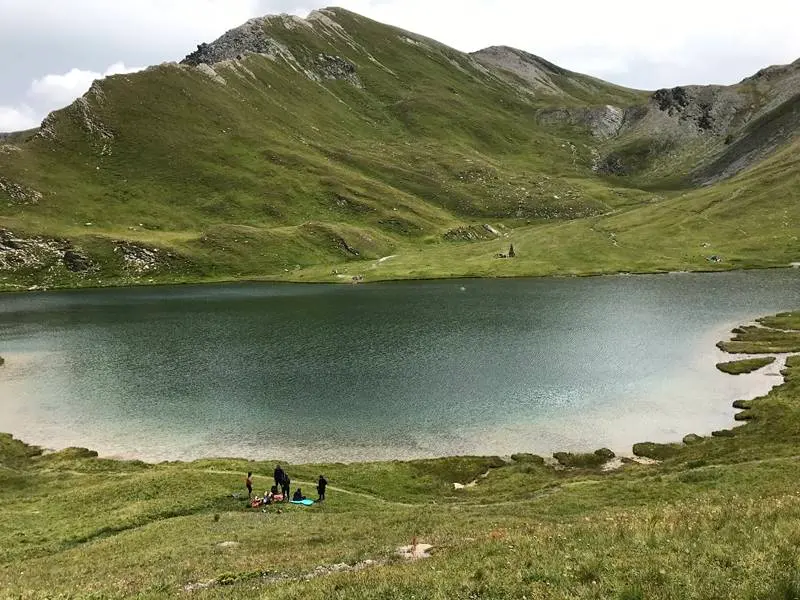
A loop or out-and-back hike. I took the shortest out-and-back from Le Bourgea; pleasant, but reportedly the finest route starts at Les Fonts, 2,000 m, follows the Cerveyrette stream, crosses Col des Marsailles, 2,602 m, and descends to Lac des Cordes. Between Le Bourgea and the lake, a short cabled section is unsuitable for children.
Around Serre Chevalier:
Several alpine routes around Serre-Chevalier offer superb Ecrins views for reasonable effort.
Crête de Peyrolles:
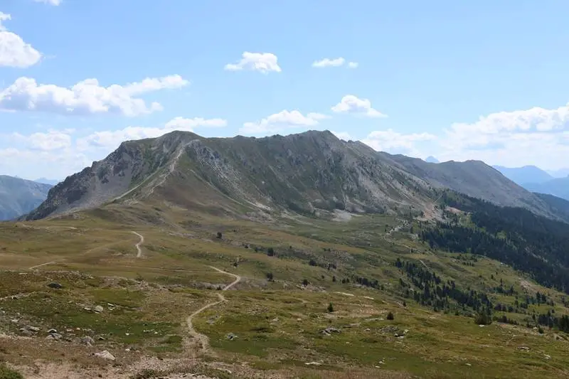
This magnificent ridge route constantly offers superb Ecrins views, often 360° on both of the ridge's 2 sides.
A loop suitable for a family of walkers in fine weather, between 2,300 and 2,650 m altitude. Avoid strong winds or uncertain weather because it is exposed.
Start at Col du Granon. Begin along the ridge and descend right at Petite Peyrolle to return on the lower path.
Le Grand Lac, 2,293 m:
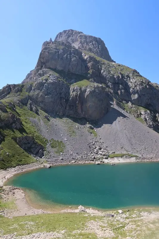
This beautiful loop or out-and-back hike combines a pastoral start through grazing alpine meadows with a final climb to Grand Lac, enclosed by rock walls in a high-mountain setting, plus fine Ecrins views.
The loop is for regular adult walkers only, using a fairly long cabled section unsuitable for children or anyone afraid of heights. In those cases, use the out-and-back route.
Start at Pont de l'Alpe, 1,709 m, at Le Lauzet; 580 m ascent. For the loop, take the left path at Alpe du Lauzet, climbing the cabled section and enjoying the lake's sudden appearance at the top. For the out-and-back, take the right path there.
A little further afield:
The Ecrins: hike to Refuge des Bans, 2,083 m
The Ecrins massif is nearby; missing its rocky, snowy scenery would be a shame.
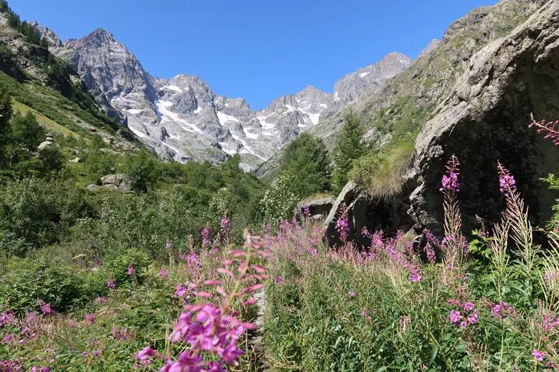
This out-and-back walk suits a family of walkers, with a short, simple cabled section just before the refuge. Enjoy refreshments in Refuge des Bans' deckchairs, with sumptuous views of sheer walls, several peaks over 3,000 m and remaining glaciers. The whole climb is pleasant.
Start at Entre-Les-Aigues car park, 1,610 m, above Vallouise. 470 m ascent.
Ascent of Mont-Thabor, 3,178 m:
Here is a 3,000 m summit without technical difficulties, but tiring: 1,400 m ascent from Vallée Etoite and a long route. The bare summit is distinctive, with coloured ground and beautiful 360° views. It is also a pilgrimage destination, as the final ascent's Stations of the Cross and chapel below the summit show. I met Spanish nuns wearing hefty boots.
I climbed from above Valfréjus resort, but you can start at the head of Vallée Etroite, accessed via Clarée valley and Col de l'Echelle to Granges de la Vallée Etroite, 1,755 m.
Whichever route, this is a long outing for strong adult walkers, requiring an early start.