





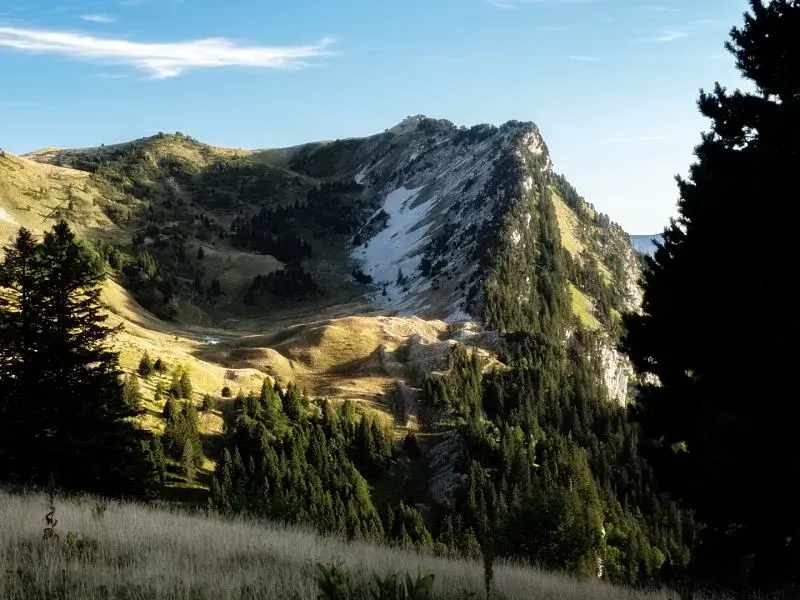
Before it is a green or yellow liqueur, Chartreuse is a destination! There is much to discover. To whet your appetite, here are 2 ideas for beautiful hikes in the Chartreuse:
- The Pravouta circuit with views of the Dent de Crolles (half a day)
- A multi-day route between Grande Sure and Charmant Som (2 to 3 days with wild camping)
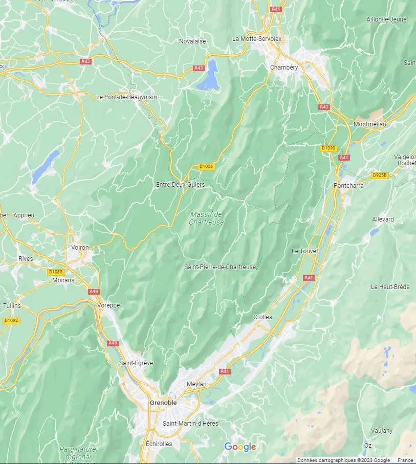
Where is Chartreuse?
Between Grenoble and Chambéry, Chartreuse is a Pre-Alpine massif with a distinctive limestone landscape.
Here are 2 hikes in Chartreuse Regional Nature Park, near Grande Chartreuse monastery, where the famous liqueur's recipe remains secret. A secret kept by 3 monks, each knowing only 2/3 of the final recipe…
Hiking around the small Pravouta summit
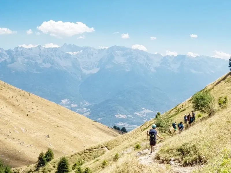
A loop accessible to most people. Its small summit at 1,760m offers beautiful 360° views.
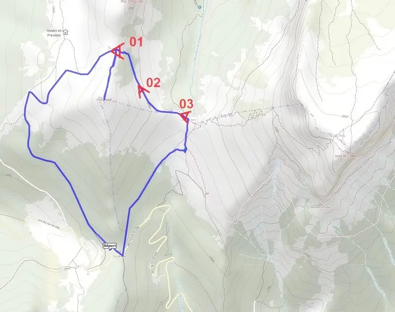
Start at Col du Coq. Walking clockwise gives fine views of distant Belledonne.
The loop should take between 3 and 4h walking.
If that is not enough, extend the loop to climb Dent de Crolles from Col des Ayes.
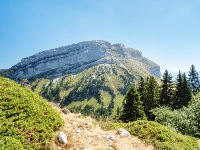
Hiking and wild camping between Grande Sure and Charmant Som
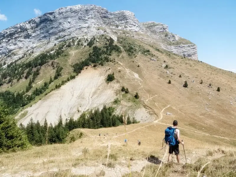
I completed this 2 or 3-day route to escape tourist areas such as Grand Som and Mont Granier, while enjoying varied scenery and wildlife-watching opportunities.
TO BE CONFIRMED: this fairly accessible route nevertheless has exposed sections and slippery slopes. It is for regular, sure-footed hikers.
From St-Laurent-du-Pont, quickly reach the starting car park near Chartreuse de Currière. This route requires leaving a 2nd car at the finish.
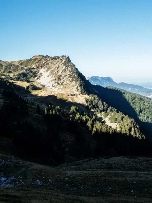
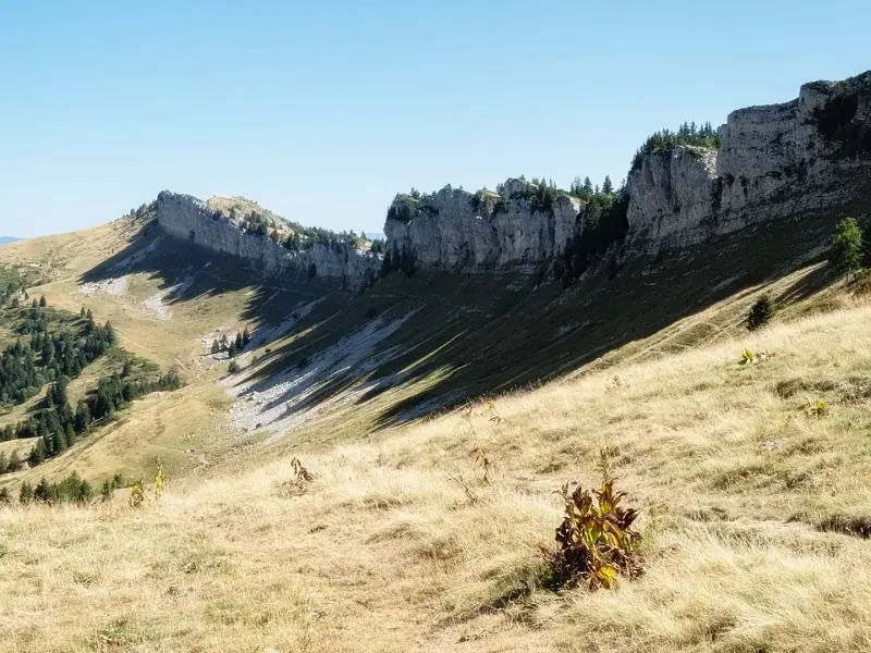
After a good climb on a forest track, a lovely panorama at Belvédère de Nonne rewards you.
Head deeper into forest as the trail narrows and feels wilder. Reach the 1st slightly exposed passage, Cul-de-Lampe.
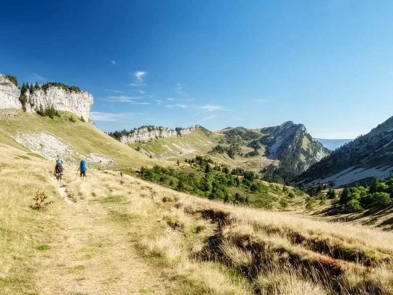
Further on, reach a small valley with broad grazing areas. Watch the rocks on your right: binoculars may reveal life on 4 legs.
At Col de la Sure, take the out-and-back to Grande Sure summit if you wish.
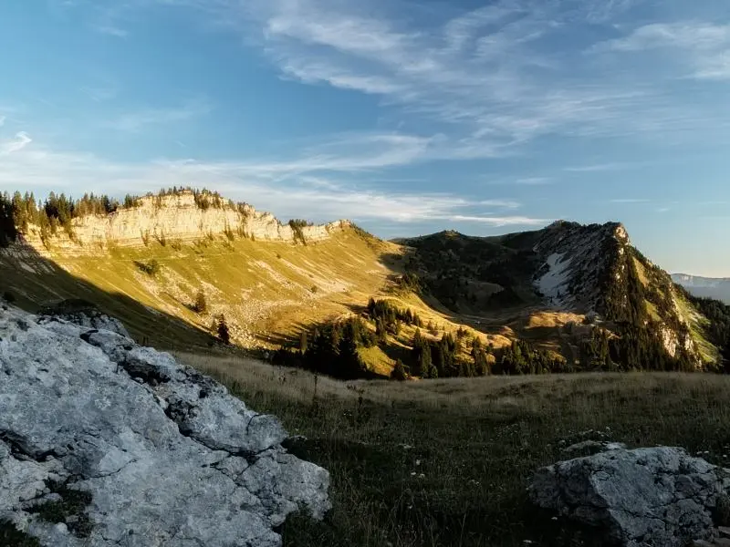
From this pass, you tend to think, ‘Right, we need to camp here!’. I can confirm it is worthwhile.
Shortly before Col d'Hurtières, scan a very large scree slope: you may see dozens of mouflon!
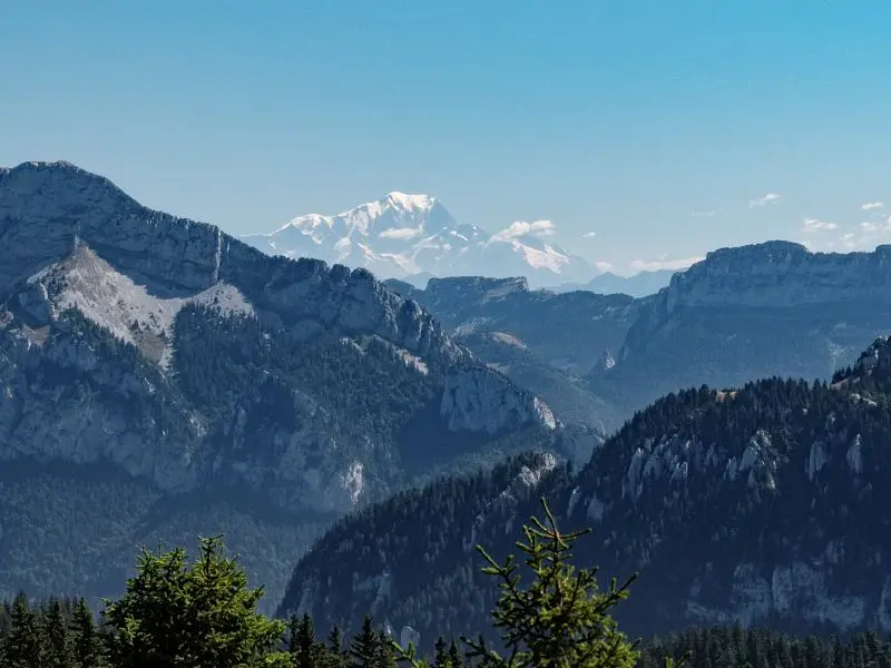
Shortly after the pass, you may spot Mont-Blanc! Clearly visible in this photo.
Descend to Col de la Charmette. From there, confident map users can take an unmarked path to Col de la Cochette. Beware: crossing this pass is relatively technical because of a steep, slippery earth slope.
Beyond the pass, well-built steps make the descent straightforward, bringing you to your 2nd car.
Water precautions
As a limestone massif, Chartreuse allows water to drain into rock cracks, known as karst terrain, and supplies can be scarce, especially in hot weather. Be careful about the amount of water you carry. Always have an emergency reserve.
Be responsible during your visit
Always worth repeating: respect the environment you walk through. Leave no trace, avoid picking plants and disturbing animals.
Rayonrando wishes everyone happy hiking!