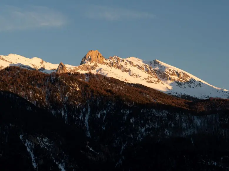


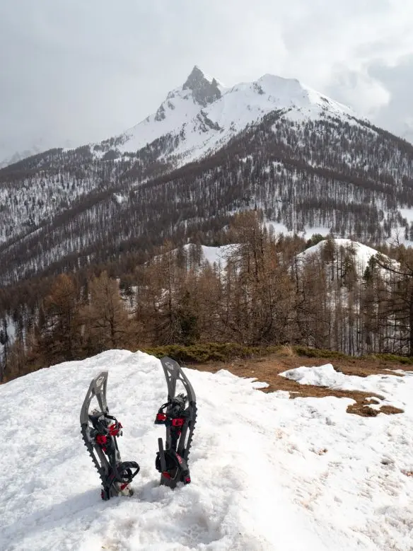
If winter holidays mean refreshing, scenic snowshoe hikes to you, this article is for you. We suggest a few escapes in Queyras Regional Nature Park.
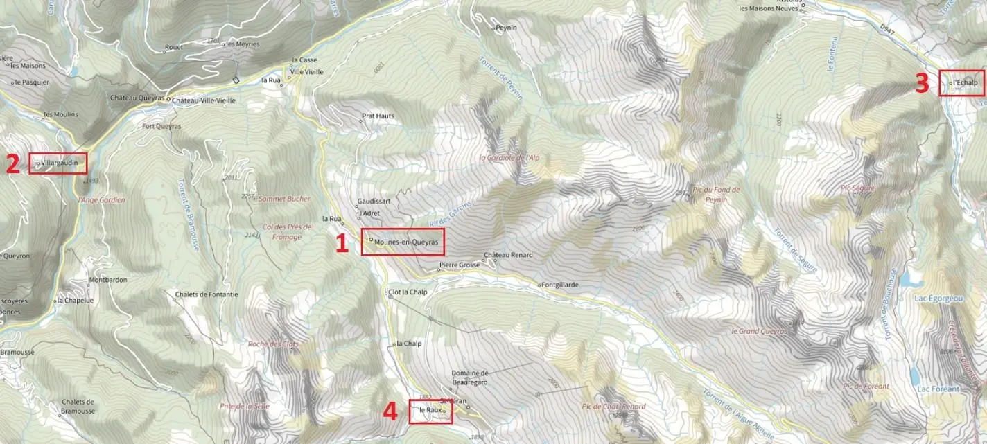
These 4 routes of varying difficulty give a good overview of the natural park under snow:
- Hike 1: Col des Prés de Fromage from Molines-en-Queyras (500 m ascent for a short day's walk)
- Hike 2: Crête de Balari from Villargaudin (800 m ascent for a full day's walk)
- Hike 3: Cabane de Peyroun from l'Echalp (300 m ascent for half a day)
- Hike 4: Crête de Curlet from Le Raux (500 m ascent for a short day's walk)
Where is Queyras?
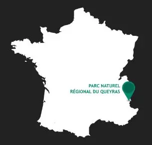
Around 950 km from Rayonrando! At the far edge of the French Alps, on the Italian border.
It is a Regional Nature Park, sometimes described as unspoilt, authentic and wild, with vast larch forests.
For hiking, I highly recommend basing yourself around Molines-en-Queyras, ideally located for day hikes. It also attracts far fewer tourists than larger Alpine resorts. A beautiful destination for nature lovers seeking tranquillity.
Snowshoe hike to Col des Prés de Fromage
Depending on snow cover, start directly from Molines-en-Queyras or cross a small bridge to a less sunny slope. Put on your snowshoes and begin a gradual ascent to Col des Prés de Fromage. Alternate viewpoints and larch forests up to a small open meadow, sometimes with a strange ice structure… Finish climbing to the pass to discover unusual terrain, lovely fresh snow and broad white expanses.
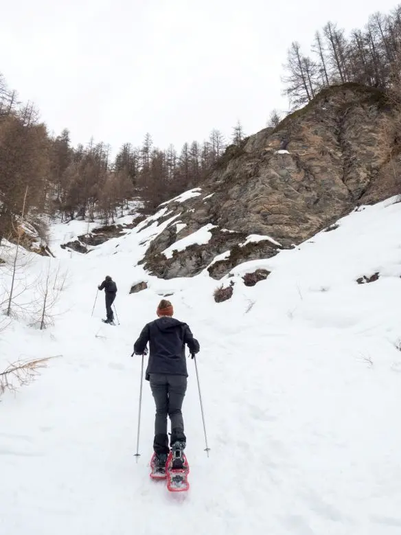
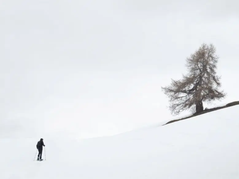
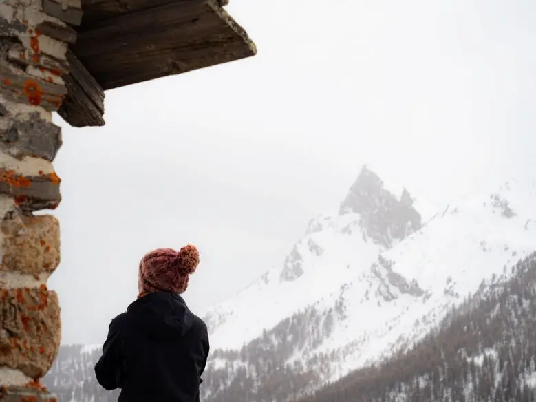
I recommend snowshoeing a little higher towards Sommet Bucher. The panorama is worth it! Missing such a picnic view would be a shame.
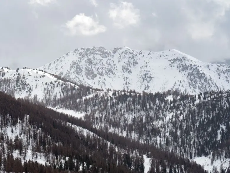
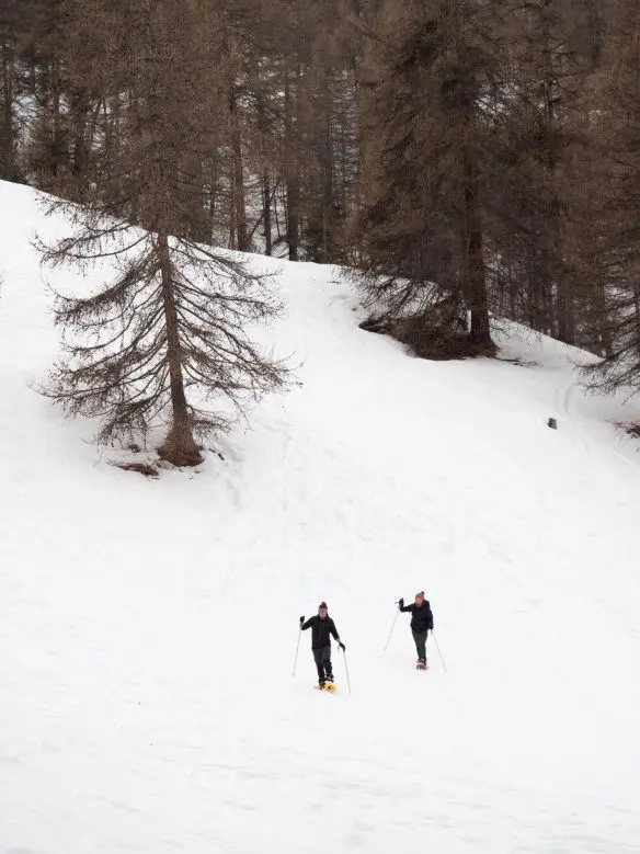
Descend as you wish, obviously avoiding steep slopes.
Snowshoe hike to Crête de Balari
For a higher day hike with 360° views, head towards Villargaudin, aiming for Crête de Balari.
Begin on a narrow path gradually climbing to a fine viewpoint over Combe du Queyras.
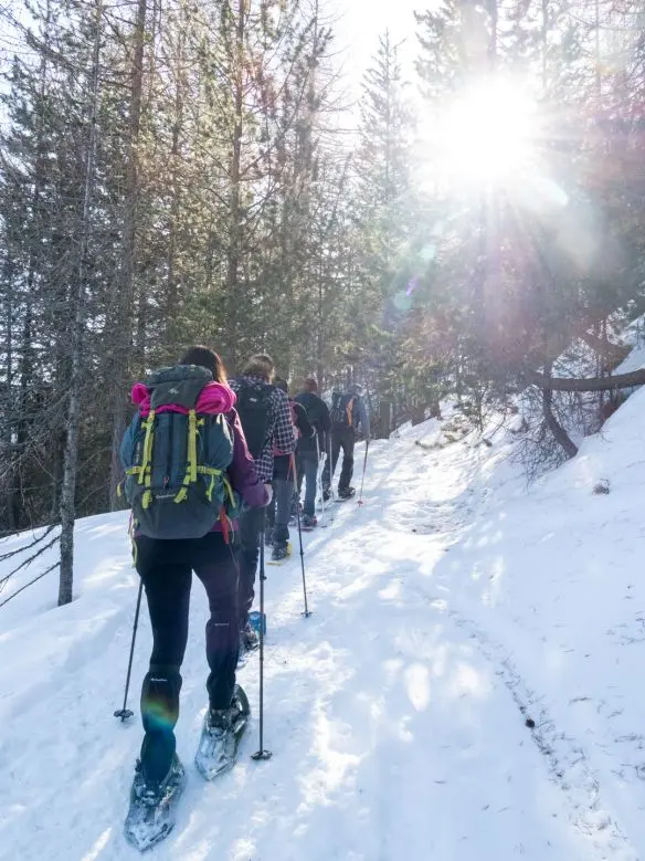
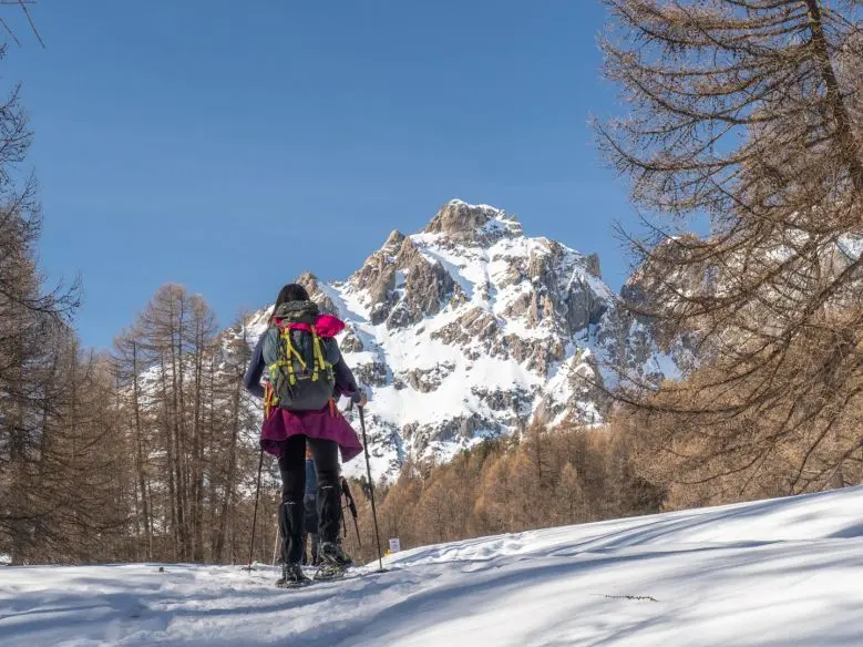
Continue climbing to Cabane de Baoude for a short break, then towards Crête de Balari, finding a route through the gentlest slopes. Only attempt this section in stable snow conditions.
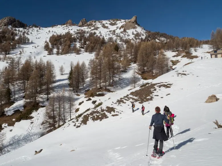
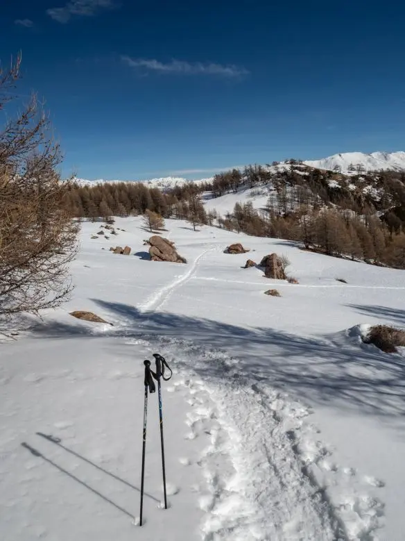
On reaching the ridge, avoid overly narrow sections. With patience and plenty of discretion, you may spot local 4-legged residents.
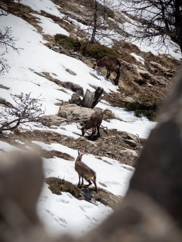
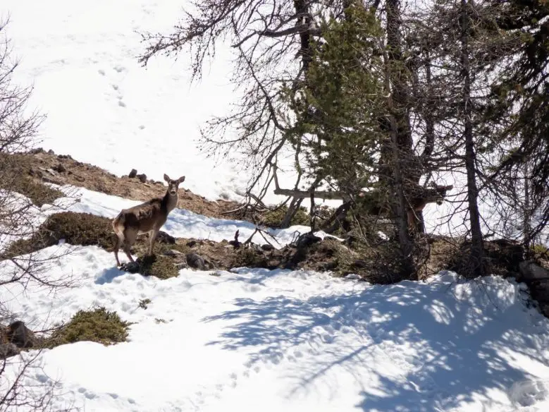
Descend towards Villargaudin through Bois des Vaches. As in any forest, take care near trees: small snow bridges may conceal holes.
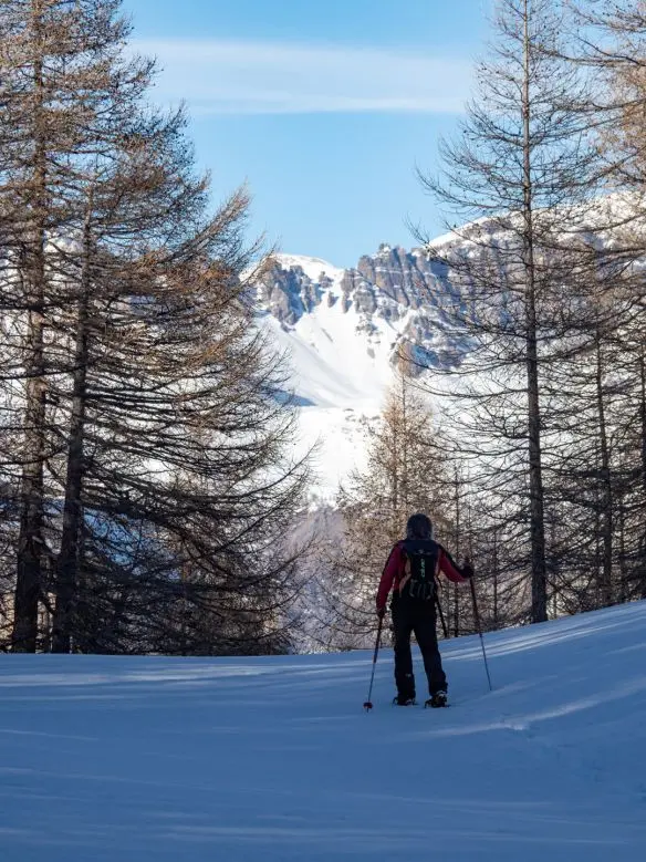
To avoid missing anything on this hike, hire a mountain walking guide, who will lead you and share knowledge throughout the day, as well as showing the ideal route to unique viewpoints.
Snowshoe hike towards Cabane de Peyroun
For a more accessible, equally charming hike, head to Ristolas, specifically L'Echalp. Park easily near the River Guil and take GR 58 towards Chalet de la Médille.
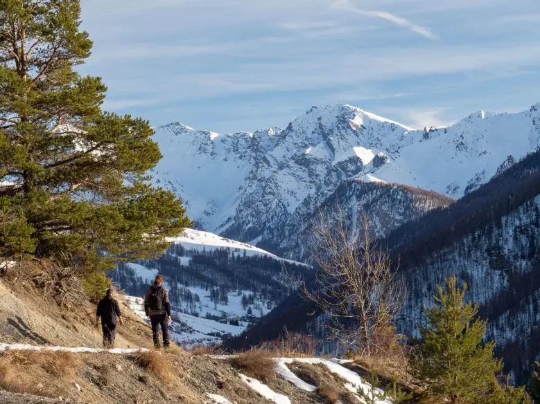
The hike starts beside the river before climbing into larch forest. Continue up enclosed, winding paths to the small plateau holding the chalet. You already enjoy a beautiful panorama, but the destination is slightly higher at Cabane de Peyroun.
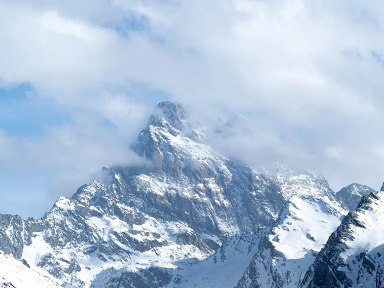
From here, one side offers open views of the valley and high peaks around Mont Viso, while the other reveals a rocky mountainside where chamois and ibex shelter peacefully. Bring good binoculars. Return the same way.
Snowshoe hike towards Crête de Curley
Just 5 minutes from Molines-En-Queyras are the village and resort of St Véran, with Le Raux hamlet slightly lower. Start here for a short day's hike.
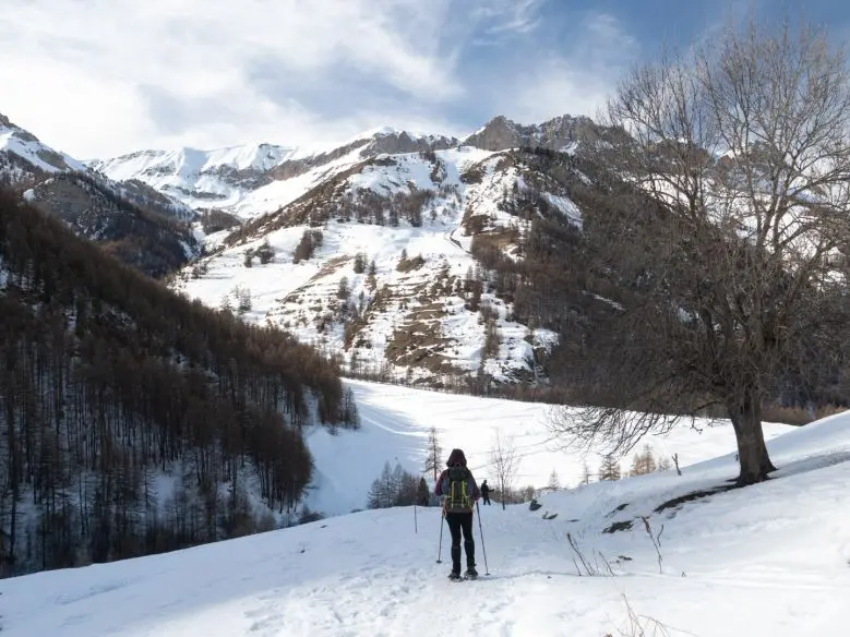
The destination is Crête de Curley, offering very open views over St Véran and the whole valley.
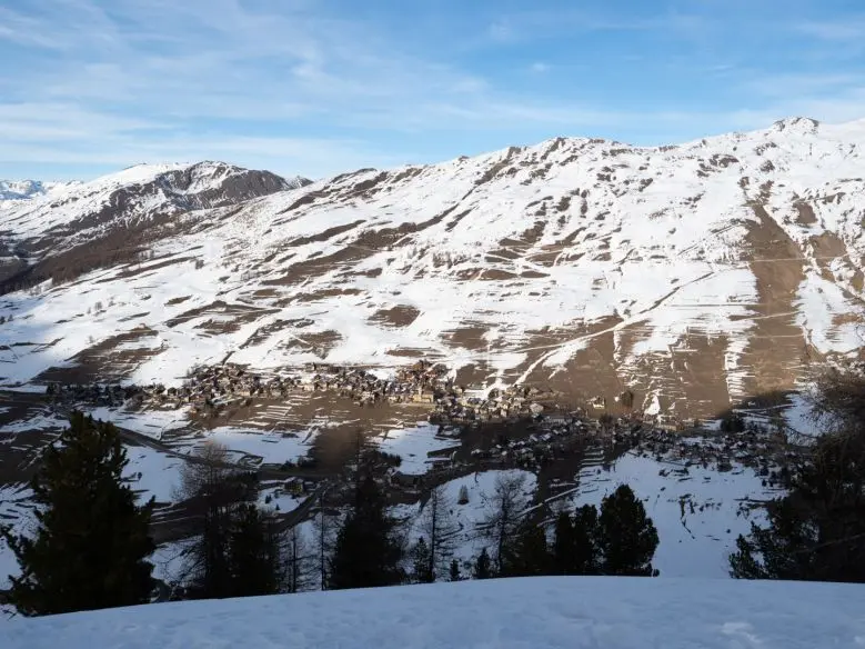
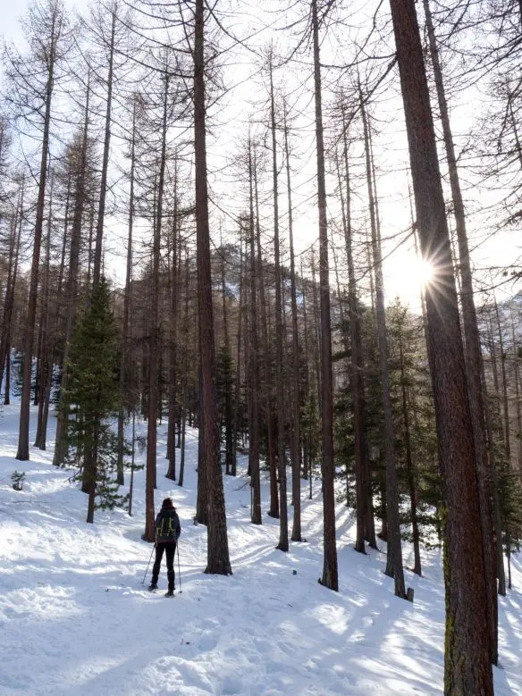
The woodland climb offers several small alternatives: choose according to slope and fitness. This also allows variety on the return.
Conclusion: precautions to take
Despite sometimes very unsettled weather, snowshoes let you discover wild snowy places, but risks remain.
For confident snow hiking, take a few precautions:
- Snow covers most trail traces. Signs sometimes guide you, but take care: carry a map, paper or GPS, for navigation.
- If using GPS, remember that sub-zero temperatures can greatly reduce battery performance. Be prepared.
- For the same reasons, always allow extra time to avoid returning in darkness or even getting lost.
- Finally, ask locals as much as possible about suitable hiking areas. Some places present particularly dangerous avalanche or snow-bridge risks.