





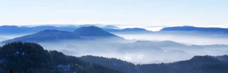
The Vosges is a lovely winter destination for snowshoe hiking! Although not particularly high (1,424 m at the Grand Ballon), its continental climate can bring snow at relatively low altitudes. The combination of forests, ridges and lakes provides the ingredients for beautiful snowshoe hikes.
Here are our snowshoeing route descriptions for the Vosges.
Conditions:
There is enough for several days of varied snowshoe hikes with no major technical difficulties. Slopes are mostly moderate, steeper sections short, and navigation generally fairly easy.
The one real constraint: it can be very cold, particularly on windy ridges. Take this seriously: bring suitable clothing, including thermal leggings and tops, and plan shorter hikes in severe cold, especially without shelter en route.
On ridges, keep away from the edges of snow cornices, which may collapse.
Remember that the Vosges also offer magnificent cross-country skiing.
We explored around Gérardmer and La Bresse, in the heart of the range. IGN map 3618OT, ‘Le Hohneck-Gérardmer’.
Here are some snowshoe route ideas in the Vosges to discover superb scenery:
Warm up: enjoy the forest first!
Why it is beautiful:
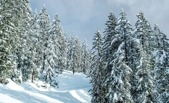
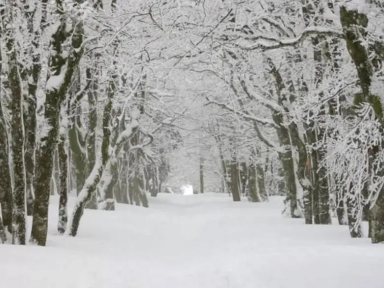
Much of the Vosges is covered by beautiful, varied forest: majestic firs and spruces in places, unusually twisted beeches elsewhere, and many other species. Under snow cover, branches are coated in white or ice crystals. The trees sometimes form real snow arbours. Trunks create striking contrasts where snow forms white bands on wind-exposed sides. In a word, beautiful!
Forest snowshoe routes:
An ideal warm-up: a feast for the eyes, easy routes on moderate slopes and good waymarking.
The easiest option is to use ski resorts' well-marked routes, free to access. We enjoyed several walks from Les Bas-Rupt, near Gérardmer. Start at the foot of the ski jump, near La Drosera inn, or slightly higher by the Hautes Vannes chalet, where higher-altitude trails begin. Routes range from 1.7 to 9 km, ideal for warming up your snowshoes on outings lasting up to 3H.
The forest is beautiful, but you will then want to see further.
Broaden your horizons: head for the ridges.
An open horizon:
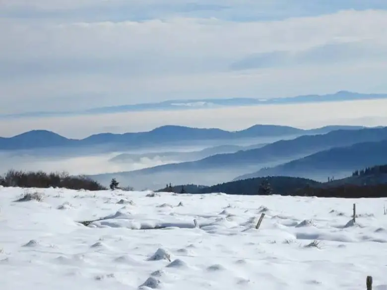
To enjoy open spaces and fine views, climb above the forest. The nicest option is to organise walks around the main ridge passing over Le Tanet, Le Hohneck and Le Rainkopf.
The Vosges also have many lakes, providing waypoints or destinations for snowshoe hikes.
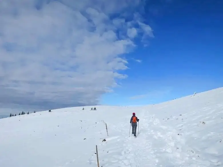
Snowshoe routes along the ridges:
The finest routes start at the Col de la Schlucht, the most direct access to the ridges. It is worth doing 2 walks, heading right and left from the pass:
- Snowshoe hike from the Col de la Schlucht to the Hohneck summit, returning lower down via Le Collet.
The finest viewpoints!
From the Col de la Schlucht car park, head right along the GR5, starting to the left of the chapel. After a lovely woodland climb, you reach upland meadows with superb views of the ridgeline and valley. Join the ridge and follow it to the Hohneck summit, keeping well away from the cornice edge. Superb 360° views.
Continue along the ridge at first, then soon turn right towards Schmargult. Before Schmargult, descend beside an alpine ski run and turn right onto a woodland track or road. Cross 2 ski runs to reach ‘Le bas du Hohneck’ restaurant, marked Chalet and 1245 on the IGN map. You could also descend directly here from the summit. Take the path left of the restaurant towards the Col de Framont, then bear left towards the Jardin d'Altitude and Le Collet, from where you climb through forest to the Col de la Schlucht.
It took us around 5 hours, including breaks and a picnic.
- Snowshoe hike from the Col de la Schlucht to Lac Vert via Le Tanet summit.
A superb, varied walk alternating forest, clearings and ridges, passing beneath snowy arbours, with Lac Vert in its bowl as the final destination.
From the Col de la Schlucht car park, pick up the GR5 slightly higher on the left. The path soon follows the ridge at varying distances, with occasional valley views, hidden by fog for us. After Le Tanet summit, continue on the GR5, then descend to the lake on the forest track. Return on the path left of the closed dam hut and climb via the path marked ‘Lybruck’ to the ridge, then retrace the outward ridge path. You could continue lower through the ski area and climb again after the Shupferen refuge.
Again, it took us around 5 hours, including breaks and a picnic.
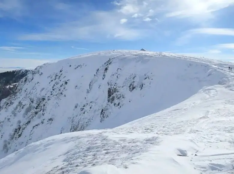
You can also reach the ridgeline from the La Bresse side:
- Snowshoe hike from Pont du Lac de Blanchemer to the Rainkopf summit via Lac de Blanchemer.
The beautiful enclosed setting of Lac de Blanchemer and views from the Rainkopf summit. Conditions were overcast for us, so we turned back shortly before it.
For a fairly short outing given the weather, we started at the Pont du Lac de Blanchemer car park. A longer woodland loop is possible from the Col de Bramont.
Reach the lake on a snowy forest road, closed to traffic and perfect for sledging. An open hut by the lake offers shelter if needed. The path climbs to the right of the hut and joins the forest road. At the junction, take the sharp right turn. Reach the closed Freschmuss refuge, then Rainkopf. Return the same way.
Finally, we also heard about a fine snowshoe walk to the Grand Ventron summit for its views, probably starting from the village of Ventron.